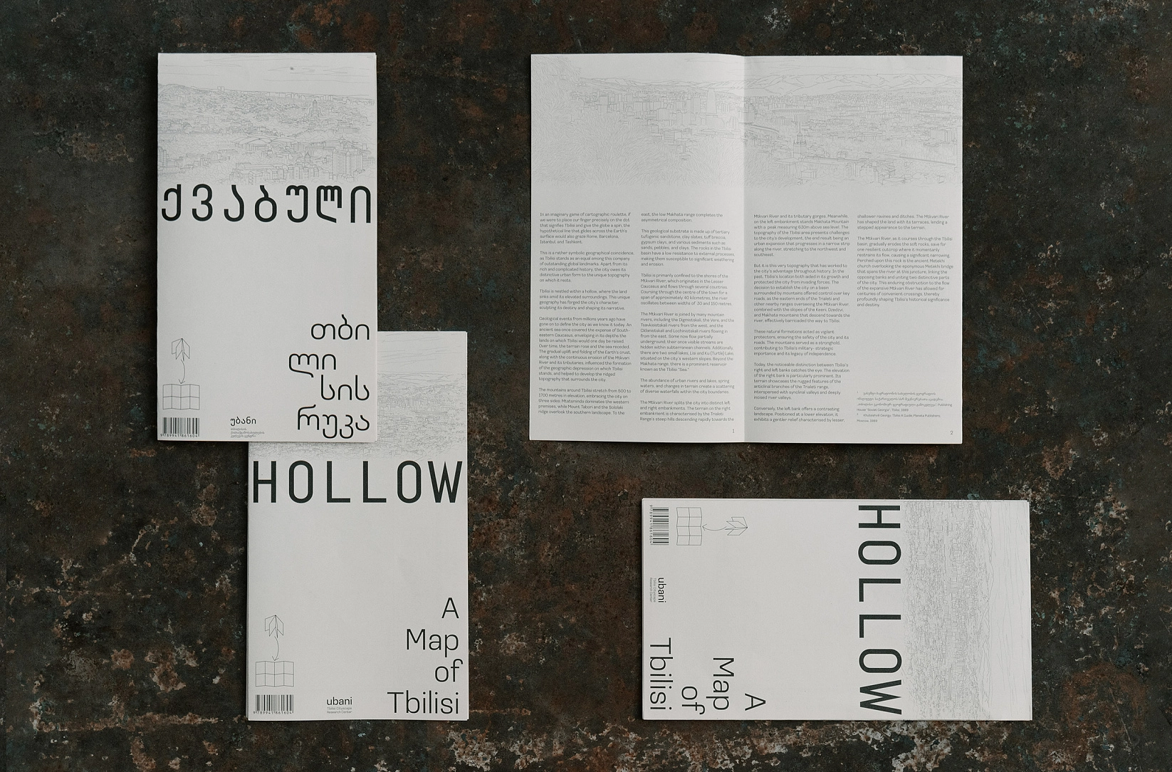
In an imaginary game of cartographic roulette, if we were to place our finger precisely on the dot that signifies Tbilisi and give the globe a spin, the imaginary line that glides across the Earth's surface would also graze Rome, Barcelona, Istanbul, and Tashkent.
This is a rather symbolic geographical coincidence, as Tbilisi stands as an equal among this company of outstanding global landmarks. Apart from its rich and complicated history, the city owes its distinctive urban form to the unique topography on which it rests.
Tbilisi is nestled within a hollow, where the land sinks amid its elevated surroundings. This unique geography has forged the city's character, sculpting its destiny and shaping its narrative.
Geological events from millions years ago have gone on to define the city as we know it today. An ancient sea once covered the expanse of South - eastern Caucasus, enveloping in its depths the lands on which Tbilisi would one day be raised. Over time, the terrain rose and the sea receded. The gradual uplift and folding of the Earth's crust, along with the continuous erosion of the Mtkvari River and its tributaries, influenced the formation of the geographic depression on which Tbilisi stands, and helped to develop the ridged topography that surrounds the city.
The mountains around Tbilisi stretch from 500 to 1700 metres in elevation, embracing the city on three sides: Mtatsminda dominates the western premises, while Mount Tabori and the Sololaki ridge overlook the southern landscape. To the east, the low Makhata range completes the asymmetrical composition.
This geological substrate is made up of tertiary tufogenic sandstone, clay slates, tu breccia, gypsum clays, and various sediments such as sands, pebbles, and clays. The rocks in the Tbilisi basin have a low resistance to external processes, making them susceptible to significant weathering and erosion.
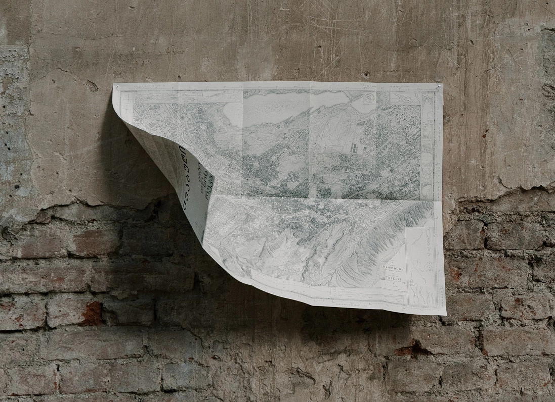
Tbilisi is primarily confined to the shores of the Mtkvari River, which originates in the Lesser Caucasus and flows through several countries. Coursing through the center of the town for a span of approximately 40 kilometres, the river oscillates between widths of 30 and 150 metres.
The Mtkvari River is joined by many mountain rivers, including the Digmistskali, the Vere, and the Tsavkisistskali rivers from the west, and the Gldanistskali and Lochinistskali rivers flowing in from the east. Some now flow partially underground; their once visible streams are hidden within subterranean channels. Additionally, there are two small lakes, Lisi and Ku (Turtle) Lake, situated on the city’s western slopes. Beyond the Makhata range, there is a prominent reservoir known as the Tbilisi “Sea.”
The abundance of urban rivers and lakes, spring waters, and changes in terrain create a scattering of diverse waterfalls within the city boundaries.
The Mtkvari River splits the city into distinct left and right embankments. The terrain on the right embankment is characterised by the Trialeti Range's steep hills descending rapidly towards the Mtkvari River and its tributary gorges. Meanwhile, on the le embankment stands Makhata Mountain with a peak measuring 630m above sea level. The topography of the Tbilisi area presents challenges to the city's development, the end result being an urban expansion that progresses in a narrow strip along the river, stretching to the northwest and southeast.
But it is this very topography that has worked to the city’s advantage throughout history. In the past, Tbilisi’s location both aided in its growth and protected the city from invading forces. The decision to establish the city on a basin surrounded by mountains offered control over key roads, as the eastern ends of the Trialeti and other nearby ranges overseeing the Mtkvari River, combined with the slopes of the Keeni, Dzedzvi, and Makhata mountains that descend towards the river, effectively barricaded the way to Tbilisi.
These natural formations acted as vigilant protectors, ensuring the safety of the city and its roads. The mountains served as a stronghold, contributing to Tbilisi's military-strategic importance and its legacy of independence.
Today, the noticeable distinction between Tbilisi’s right and le banks catches the eye. The elevation of the right bank is particularly prominent. Its terrain showcases the rugged features of the anticlinal branches of the Trialeti range, interspersed with synclinal valleys and deeply incised river valleys.
Conversely, the leftbank offers a contrasting landscape. Positioned at a lower elevation, it exhibits a gentler relief characterised by lesser, shallower ravines and ditches. The Mtkvari River has shaped the land with its terraces, lending a stepped appearance to the terrain.
This is a rather symbolic geographical coincidence, as Tbilisi stands as an equal among this company of outstanding global landmarks. Apart from its rich and complicated history, the city owes its distinctive urban form to the unique topography on which it rests.
Tbilisi is nestled within a hollow, where the land sinks amid its elevated surroundings. This unique geography has forged the city's character, sculpting its destiny and shaping its narrative.
Geological events from millions years ago have gone on to define the city as we know it today. An ancient sea once covered the expanse of South - eastern Caucasus, enveloping in its depths the lands on which Tbilisi would one day be raised. Over time, the terrain rose and the sea receded. The gradual uplift and folding of the Earth's crust, along with the continuous erosion of the Mtkvari River and its tributaries, influenced the formation of the geographic depression on which Tbilisi stands, and helped to develop the ridged topography that surrounds the city.
The mountains around Tbilisi stretch from 500 to 1700 metres in elevation, embracing the city on three sides: Mtatsminda dominates the western premises, while Mount Tabori and the Sololaki ridge overlook the southern landscape. To the east, the low Makhata range completes the asymmetrical composition.
This geological substrate is made up of tertiary tufogenic sandstone, clay slates, tu breccia, gypsum clays, and various sediments such as sands, pebbles, and clays. The rocks in the Tbilisi basin have a low resistance to external processes, making them susceptible to significant weathering and erosion.
Tbilisi is primarily confined to the shores of the Mtkvari River, which originates in the Lesser Caucasus and flows through several countries. Coursing through the center of the town for a span of approximately 40 kilometres, the river oscillates between widths of 30 and 150 metres.
The Mtkvari River is joined by many mountain rivers, including the Digmistskali, the Vere, and the Tsavkisistskali rivers from the west, and the Gldanistskali and Lochinistskali rivers flowing in from the east. Some now flow partially underground; their once visible streams are hidden within subterranean channels. Additionally, there are two small lakes, Lisi and Ku (Turtle) Lake, situated on the city’s western slopes. Beyond the Makhata range, there is a prominent reservoir known as the Tbilisi “Sea.”
The abundance of urban rivers and lakes, spring waters, and changes in terrain create a scattering of diverse waterfalls within the city boundaries.
The Mtkvari River splits the city into distinct left and right embankments. The terrain on the right embankment is characterised by the Trialeti Range's steep hills descending rapidly towards the Mtkvari River and its tributary gorges. Meanwhile, on the le embankment stands Makhata Mountain with a peak measuring 630m above sea level. The topography of the Tbilisi area presents challenges to the city's development, the end result being an urban expansion that progresses in a narrow strip along the river, stretching to the northwest and southeast.
But it is this very topography that has worked to the city’s advantage throughout history. In the past, Tbilisi’s location both aided in its growth and protected the city from invading forces. The decision to establish the city on a basin surrounded by mountains offered control over key roads, as the eastern ends of the Trialeti and other nearby ranges overseeing the Mtkvari River, combined with the slopes of the Keeni, Dzedzvi, and Makhata mountains that descend towards the river, effectively barricaded the way to Tbilisi.
These natural formations acted as vigilant protectors, ensuring the safety of the city and its roads. The mountains served as a stronghold, contributing to Tbilisi's military-strategic importance and its legacy of independence.
Today, the noticeable distinction between Tbilisi’s right and le banks catches the eye. The elevation of the right bank is particularly prominent. Its terrain showcases the rugged features of the anticlinal branches of the Trialeti range, interspersed with synclinal valleys and deeply incised river valleys.
Conversely, the leftbank offers a contrasting landscape. Positioned at a lower elevation, it exhibits a gentler relief characterised by lesser, shallower ravines and ditches. The Mtkvari River has shaped the land with its terraces, lending a stepped appearance to the terrain.
The Mtkvari River, as it courses through the Tbilisi basin, gradually erodes the so rocks, save for one resilient outcrop where it momentarily restrains its flow, causing a significant narrowing. Perched upon this rock is the ancient Metekhi church overlooking the eponymous Metekhi bridge that spans the river at this juncture, linking the opposing banks and uniting two distinctive parts of the city. This enduring obstruction to the flow of the expansive Mtkvari River has allowed for centuries of convenient crossings, thereby profoundly shaping Tbilisi's historical significance and destiny.
List of literature:
- Vakhushti Bagration Institute of Geography, Academy of Sciences of the USSR of Georgia;,,თბილისი ეკონომიურ-გეოგრაფიული გამოკვლევა"; Publishing House "Soviet Georgia"; Tbilisi, 1989
- Khutsishvili Georgy; Tbilisi A Guide; Planeta Publishers; Moscow, 1989